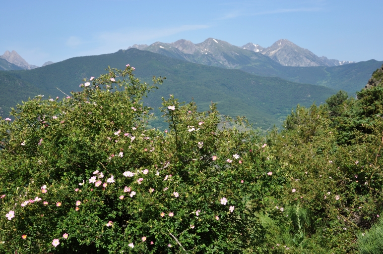
And so I started my trekking tour from the west of the Pyrenees. But essential for this direction of walking was the fact that the West-Pyrenees ascents with lower hills and mountains than in the east, where you have to climb 1000 meter of ascent already the first 35 kilometers.
I would prefer basically this direction from west to east, because it is a very good feeling to walk from cooler to warmer regions. The argument it would be more pleasant to go from east to west since you have not to walk against the sun, is in my opinion not so important, because the trail mostly lies in the shadow of the mountains during the morning. In addition the GR 11 path don´t go always straight ahead and moreover since the early afternoon you have the sun in the back.
Only the 23 Prahm maps
1:40 000 I carried about with me and 2 Rando maps 1:50 000 from the Spanish
Central Pyrenees and also some cutted map areas 1:300 00 from Marco Polo.
Hello Friends,
At the end of july 2013 I got back to the Lake of Constance from a great hiking tour across the Spanish Pyrenees from Atlantic to the Mediterranean See, more exactly on the long distance walking trail GR 11. I was wealthy and inspired of wonderful and extraordinary adventures, of which I give you here some picture.
With my last greetings I requoted Hape Kerkeling´s words "I´m Off Then" because I didn´t know where I would hike exactly in the Pirenees. It should be an adventurous trekking with doing sports and having nice experiences.
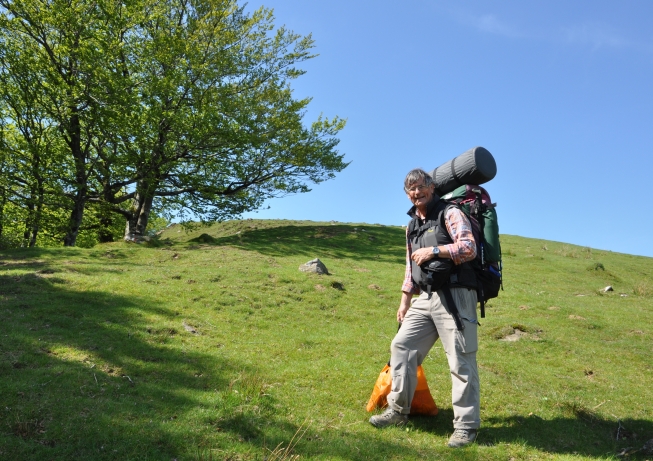
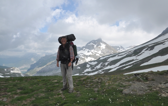
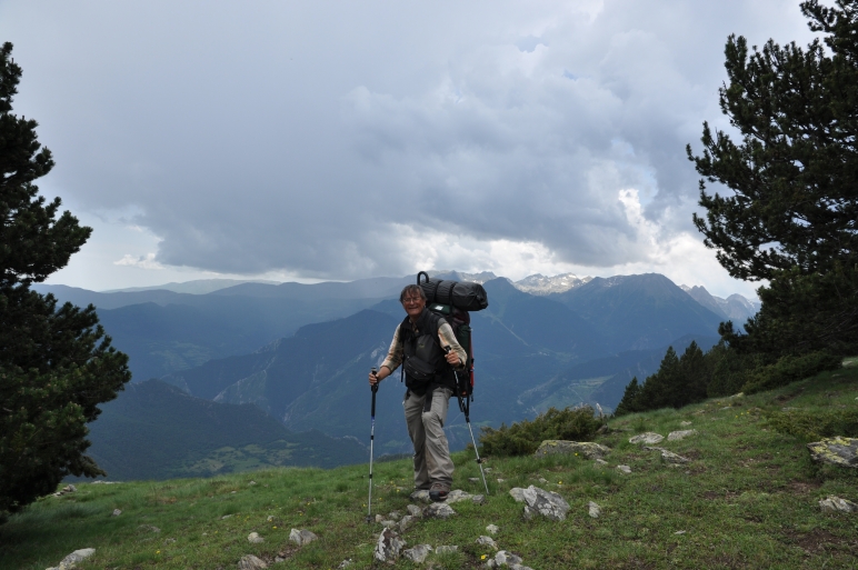
Now then, my trekking trip through the Pyrenees from about 800 km on 47 pure walking days couldn´t be more adventurous and sportive. With the weight of my backpack from 18 to 20 kg, also depending from food and water, and very steep ascents in forests, rocks and gravel tracks with a difference in altitude of 1600 m required a great deal of fitness which I haven´t got at the begin.
It was a good interaction among the Cicerone guide and the Prahmes maps. There is almost something like an order of orientation. The first and most important is to look at the white red markings. The GR 11 trail is in general good marked and has high priority. Since sometimes it happened that the real path differs to my guide and also to my map.
You wouldn´t think that it is possible to fail a marked trail but always looking to this signs you become tired over time. Sometimes deep in thoughts I failed to notice the marking. A look on the map, if neccessary a GPS determination of the position and a compass bearing established clarity.
I took the aid of the guide only when I would inform me about the remaining distance and time of walking. Possible campsites I looked spontaneously for.
The big advantage of the Prames maps was the exact presentation how to go through villages and towns if there was a bad marking.
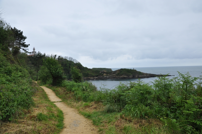
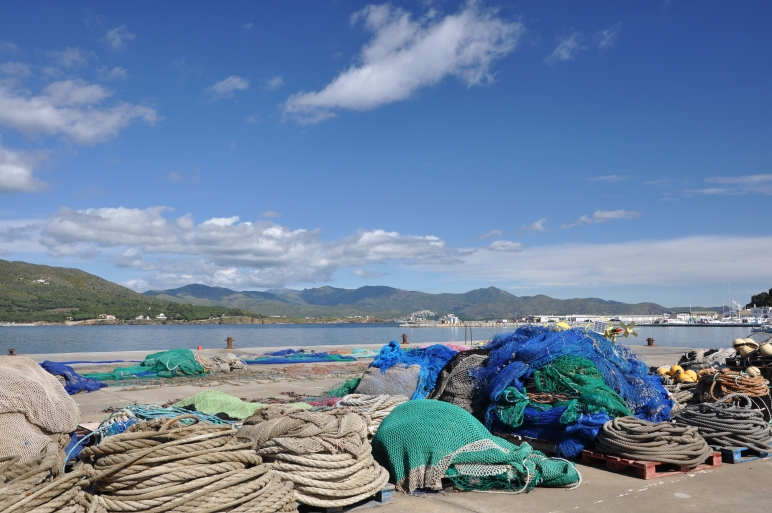
The end of may I gone up with my car at Figueras near of the Costa Brava in the North of Spain. There I visited the famos Dali museum, got along for camping and made some inquiries about the coastline of Cap Creus. Unfortunately in this time thick clouds were hanging about the Costa Brava and sometimes it was raining too. However two times in the morning there was fine weather with a blue sky and sunshine. I took my little backpack and made trips along the coast to Port Selva and Cap Creus.
Here you can see the quay of Porte Selva, where fisherman dry their ropes and fishing nets.
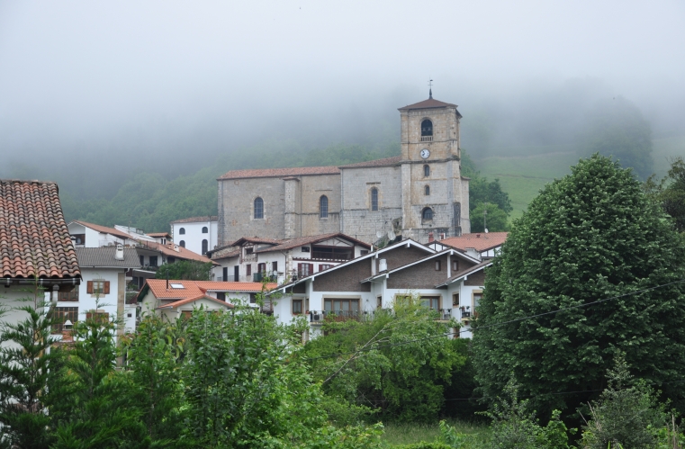
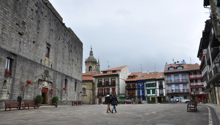
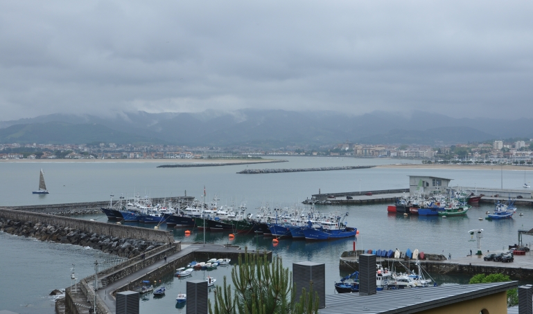
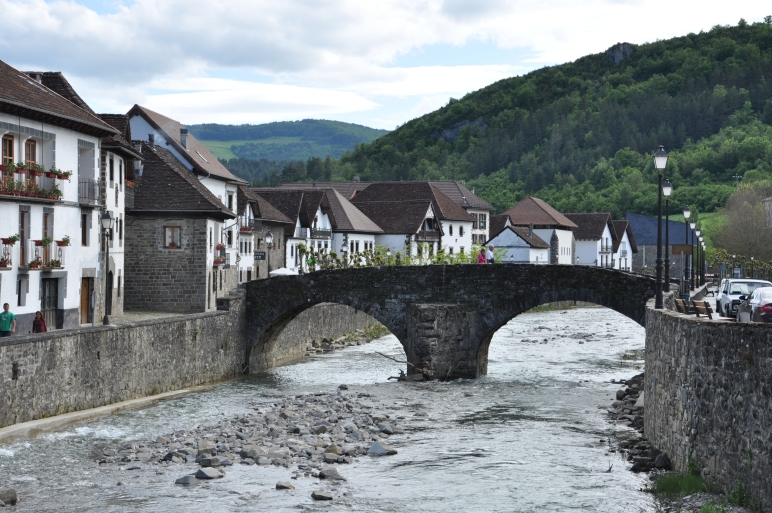
8 o´clock in the morning. In Vera de Bidasoa I would drink a coffee and take a breakfast if possible. But this little town was deep sleeping under a dense blanket of clouds.
The Cabo Higuer! Here the long distance walking-trail GR 11begins. This little path winds through the Spanish Pyrenees about 500 miles to the Mediteranean See. I was fascinated by this imagination.
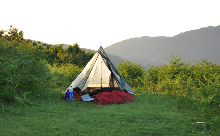
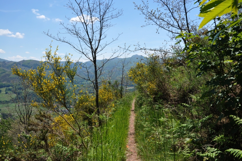
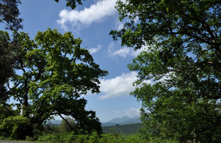
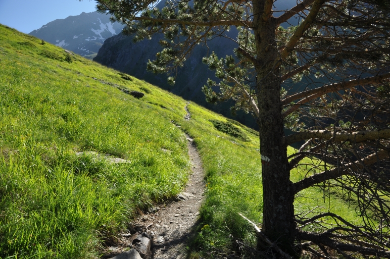
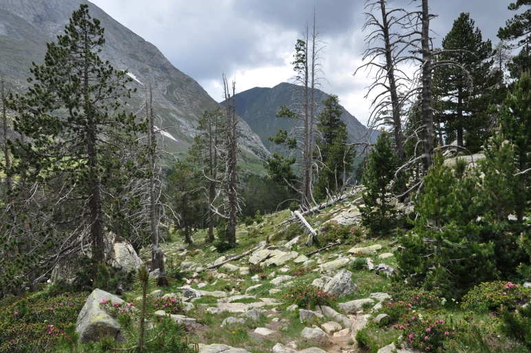
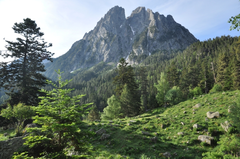
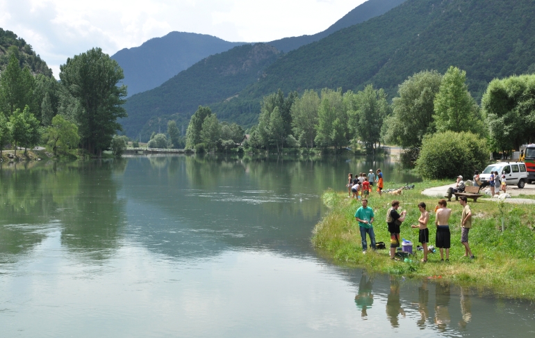
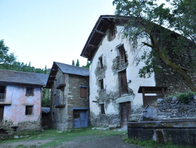
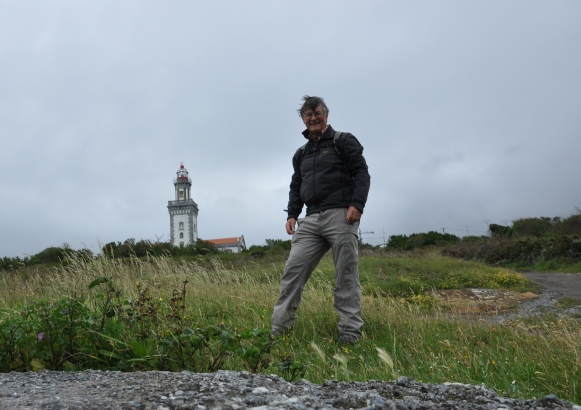
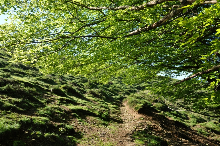
The following day I left Irun with great euphorias and a big backpack with food for two days. That was the beginning of my trekking through the westside of the Spanish Pyrenees. This is a landscape of lower mountain ranges and ridges with a moderate climate often moisty but not very cold. Always up and down on a nice trails through forests and pastures from one village to another from one town to the next. For the night I stayed only in my little tent.
It needs about 10 days untill I had adapted my backpack with my body, without painful feet and no hurted leg muscles. But from the begin I had much fun to hike through the mountains even though I was forced to take detours when it was raining, hailing or snowing.
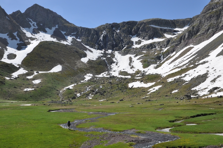
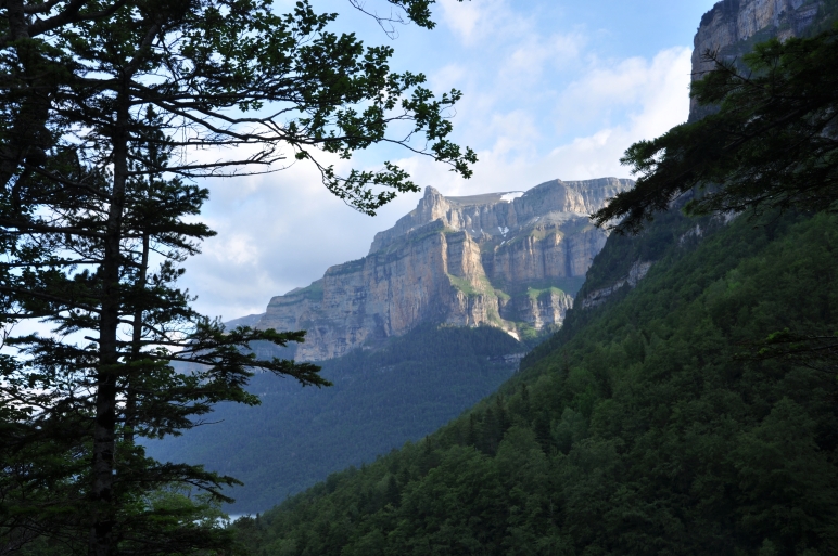
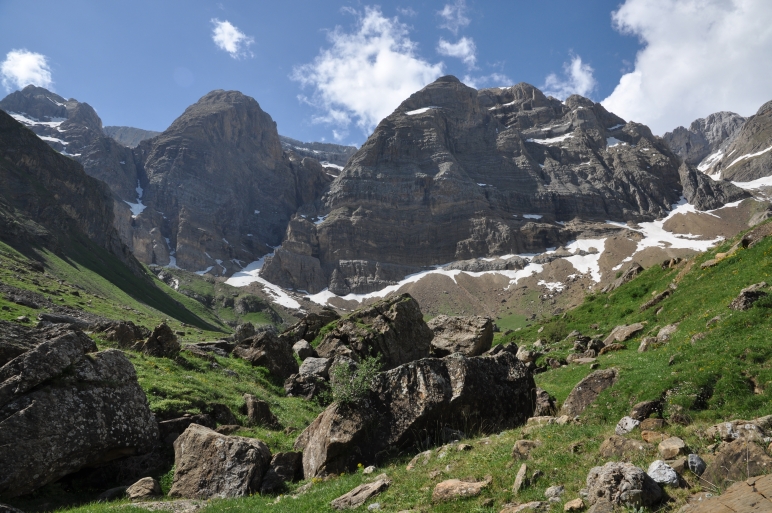
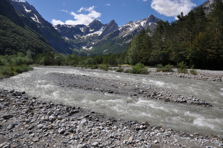
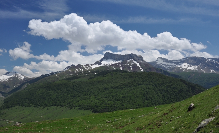
It was a wonderful experience to walk on waving mountain ridges early in the morning, crossing snowcovered mountain passes looking on white peaks in the rising or ardent sun and the great feeling to be in a good lodge in the evening. I will never forget it.
I enjoy to give you a hiking report with some pictures and hope you have a good time and fun.
Best wishes, Klaus
At the Coll de Brazato the black clouds of a thunderstorm burst on the peaks of the Vignemale. I was in a hurry to descent in the valley. But I didn´t reach and got into a terrible thunderstorm with big hailstones. Hill down on very steep and wet slopes I arrived the Refugio Ordiso.
There were two very kindly Germans also looking for shelter. They gave me a cup of hot tea and so I came again to my life.
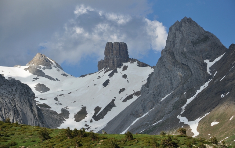
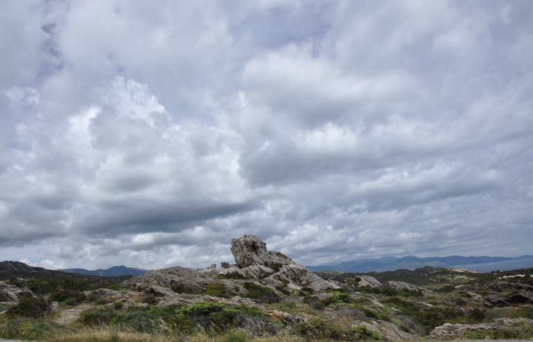
Bizarre landscape at the Port Rius.
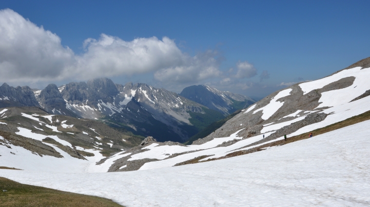
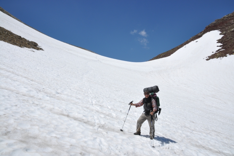
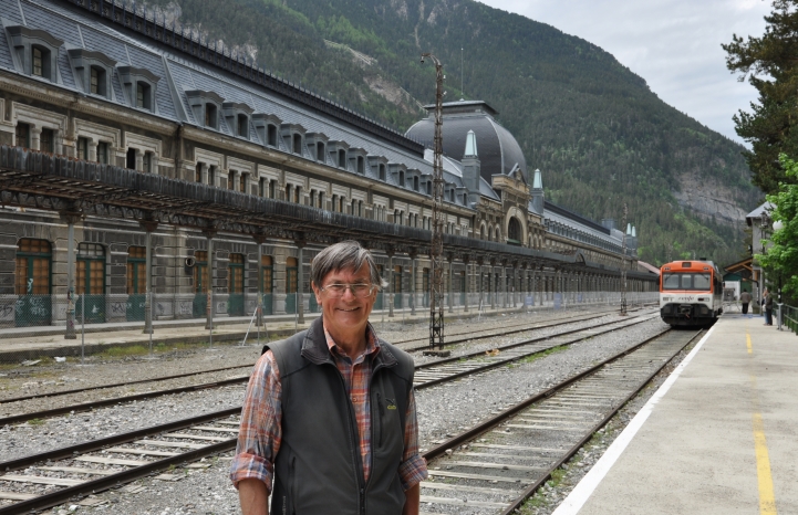
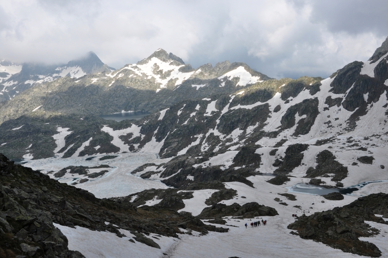
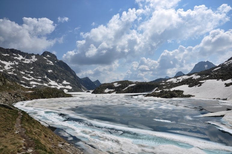
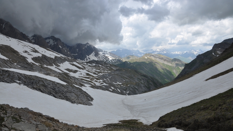
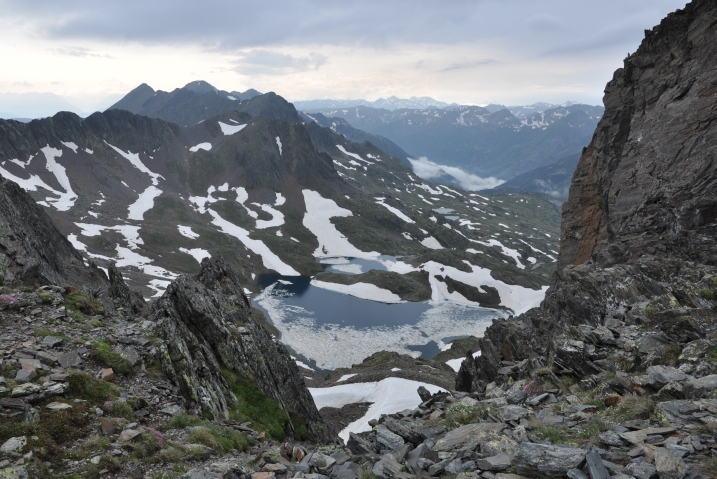
Already the first day after Canfranc I noticed that orientation over long snowfields, steep snowy slopes and unquiet landscape was more and more difficult. Many markers were still covered with snow. Sometimes the GR 11 itself was a little creek or flooded by the lake. Often I had to climb around the water and that needed a lot of time. So I used more time than in the guide declared.
Solo Hiking Tour on the long-distance Walking Trail
GR 11
through the Spanish Pyrenees June-July 2013
from Atlantik to the Mideteranean See about 500 miles
Copyright pictures and text from Klaus Goerschel
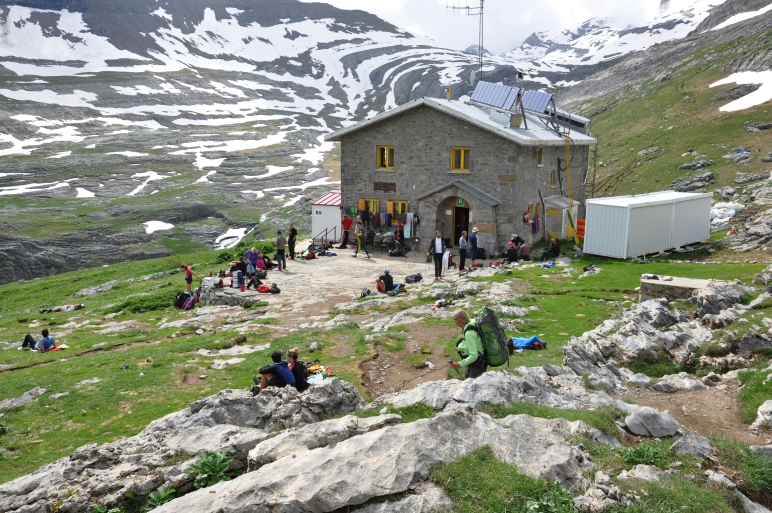
A lot of bustle at the Goriz lodge which was good occupied. Here already there was enough to eat. No matter of course!
Indeed near of the Lodge camping was allowed. Apart from that in the National Parks Ordesa, Monte Perdido, Posets Maladeta, Aigües-tortes, St. Maurici Lake camping is principally forbidden. In the emergency case you are allowed to pitch a tent above the line of 2000 m but only just late in the evening. Early in the morning you have to remove it. I mean anybody had told me the tent must be green.
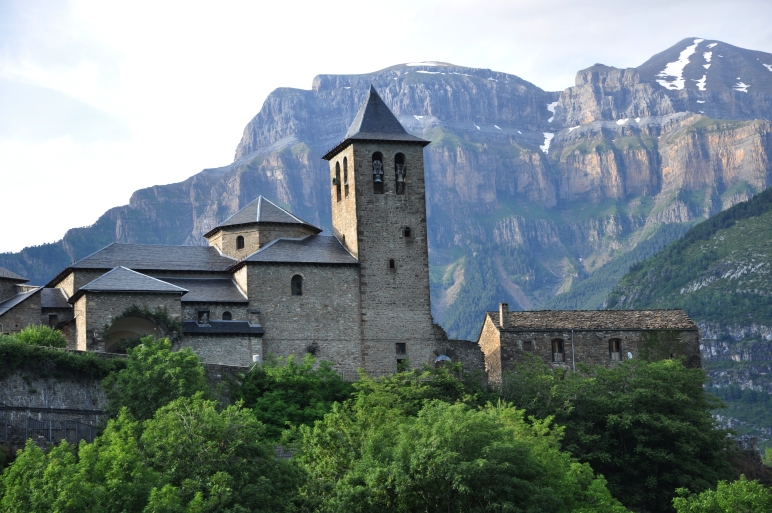
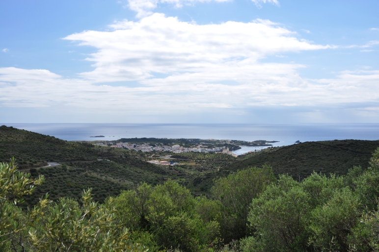
The view of Cadaces
In general for a hiking tour on the long distance walking trail you should have good fitness basics, like alpine experience, step security, head for heights, ability for spatial orientation and in the Spanish Pyrenees some knowleges of the Spanish language, more exactly the castillian language. Although in Catalunya there are also few people, who argue that they couldn´t understand Castillan. No joke but rebellion!
I believe with some certainty
that my fitness was not good enough to wear a heavy backpack 1600 m of ascent
and descent in steep mountains. And that is how did it came about to arrange
my eqipment as well as for short trips and for long hiking tours such as the
GR 11. This means I had to take with me trekking poles, ice pick, crampons,
pup tent, sleepingbag, garments for bad weather, cooking equipment, navigation
equipment like compass, GPS, maps and guides and so on.
But then I heard a good weather forecast for the west of the Pyrenees. I came to the decision to try hiking in the west part of the GR 11. I made my backpack ready, brought my car to a German company for active watching and took a train to Irun at the Atlantic. Travelling with express train across the north of Spain needs only one day and so I booked on the same day a nice room in a little hotel near by the station.
Hiking on the GR 11 made me great fun and so I decided to continue the trekking into the Central Pyrenees. Unfortunately it was pouring rain all night long. The next day I went to the Tourist Office and asked precautionally about the current state of the GR 11 in the mountains. Also if it is possible to go or not. The madam had a good understanding about this and said: "I can only advise you to avoid crossing the Pyrenees here. At the ascent to the Anayet lakes there is new snow and the danger of avelanges. So I had to wait on melting of snow what could take a long time. I didn´t like to wait and to do nothing and therefore I choosed to go to Andorra hiking there on the GR 11 to east. Due to the central site of this region there was not so much snow. When I would come back to Canfranc after 7 days the melting periode could be made some good progresses so that I would be able to hike. I bought crampons, an ice pick and enough food for 4 days.
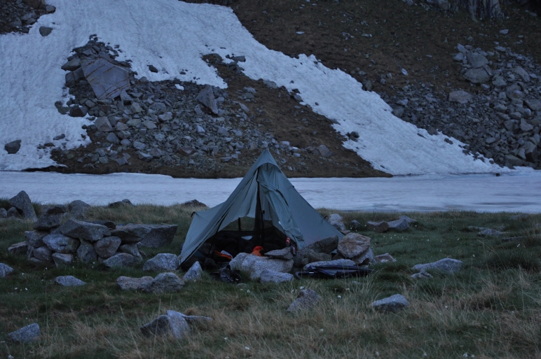
On Saturday, the 29. June, 6 o´clock in the morning I started in clear weather on my way to Sallent de Gallego. As from now I stayed for the nights in managed Refugios except in case of emergency I would take my tent. With this refugios it is similar like in our Alp-cabins. But the time for dinner was generally between 20 and 21 o´clock and I feeled it was to late for me.
On the Coll I met some hikers, who would like to climb the peak of the Petraficha about 2100 m. The snow was not too soft and so I had a good descent, even though this slope was steeper than you can see.
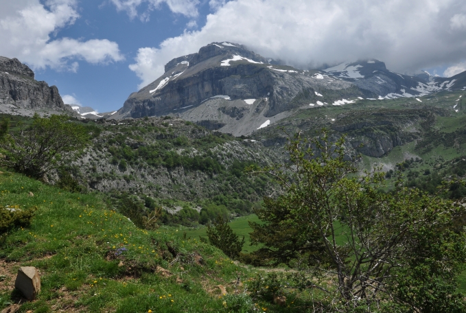
And now to this weary journey and what made me do to cross the Spanisch Pyrenees on the GR 11. In springtime of this year I come across some very nice pictures of the Pyreneen mountains. Delightfull photos with wonderfull views from the Monte Perdido and Maladeta massive. At once I was enthusiastic and at me the desire was getting up to make there hiking tours, only single trips at first, sometimes perhaps three day walkings into the National parks and on the top of some famous mountains.
Therefore I bought the green road maps from Michelin 1: 150 000, topographical maps 1:25 000 from Editorial Alpina and Rado hiking maps from Inst. Cartogràfic Catalunya, and last not least a roadmap from Marco Polo 1:750 000.
Furthermore I ordered the yellow travelguide GR 11 from Stein Edition, the Cicerone Guide GR 11 Spanish Pyrenees and the Prames Guide GR 11 Senda Pirenaica in Hispanic. With the Prames Guide you get also for every day of hiking on the GR 11 an individual map 1:40 000. Very nice are also the red hiking guides 1 to 4 from Rother. Here you can find the description of the most beautiful hiking trips of special regions of the Pirenees. I found many of the described trips come together with the GR 11. Have I thought originally to make only individual trips but now I also thought about a big hiking tour on the GR 11.
Not being sure where to hike exactly in the Pyrenees, I drove with my car to Figueras at the end of may. At the beginning there was bad weather overall in the Pyrenees. Nevertheless I used two sunny half days for short hiking near the coast from Llanca to Cap Creus.
The trail to the unmanaged cabin Baiau was 18 km long with a altitude difference of 1350 m. When I came to the cabin about 4 pm I was disappointed by the seize and character. It was too little. A man from Catalunya, who had already reserved a bed, told me that he cannot understand Kasstillan language. 4.30 pm it rained and I was happy to have found a shelter.
At 5 pm a young man looked through the door but he closed it immediately. But 5 minutes later a school class swarmed into the tiny room. 15 boys and girls in the age of 14 years occupied at once all beds with two persons. Also into my bed somebody had forced in any way. I was somewhat consternated. When the rain passed off I went outside and sound out the situation.
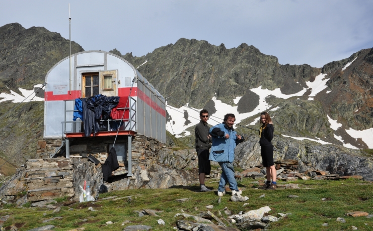
Behind the refugio the trail went downhill to a half frozen lake which I had to pass at a steep lakeside. Then probably the steepest gravel sllope of the whole tour leaded up 250 m to the Coll de Baiau, 2757 m.
To spent the comming night in this corrugated-iron hut gave me a true horror-strikken, so that I set out 6 o´clock pm to climb up to the Coll Baiau.
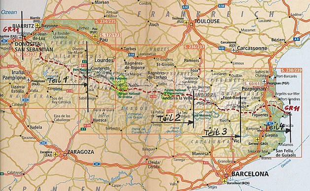
Outline map Pyrenees with red dotted long-distance Walking Trail GR 11
Part 1
from Kap Higuer to Canfranc
240 km , 12 days of hiking
Part 2
from Canfranc to Andorra
300 km, 19 days of hiking